Geurt's Ridge Winter Ascent

Overview
On January 16, 2021, Julia Bodiford and I climbed Geurt's Ridge and descended the standard Olympus trail. We stopped short about 40 meters short of the summit due to deep snow and nightfall and descended a gully to the south to reconnect with the main hiking trail.
Weather & Conditions
The high for the valley that day was in the mid 20s, but it warmed up quite nicely on the ridge. There was an inversion that week, which likely contributed to higher temps at higher elevations, but I don't have those notes. Overall it was sunny and we had been snow free for close to a week.
Elevation, Mileage, and Timing
My numbers for elevation and mileage aren't very accurate because I recorded this on my phone. However, the numbers I have are:
- 9.59 miles
- 6,590 ft of gain
- 9 hours and 16 minutes

We started out pretty late, around 11:15 AM. If I remember correctly, I had trouble sleeping the night before and decided to be better rested.
We started up the main hiking trail with approach shoes, helmet, harness, light rack, 30 meter rope, short aluminum ax, and crampons. It took an hour and 17 minutes to reach the break off point from the main trail to bushwhack towards the ridge. The bushwhack is just past the end of the "switchback" section of the hiking trail. There should be a small break to the left as you head up. It's pretty easy to lose the trail, and I am not convinced there is a trail the whole way.
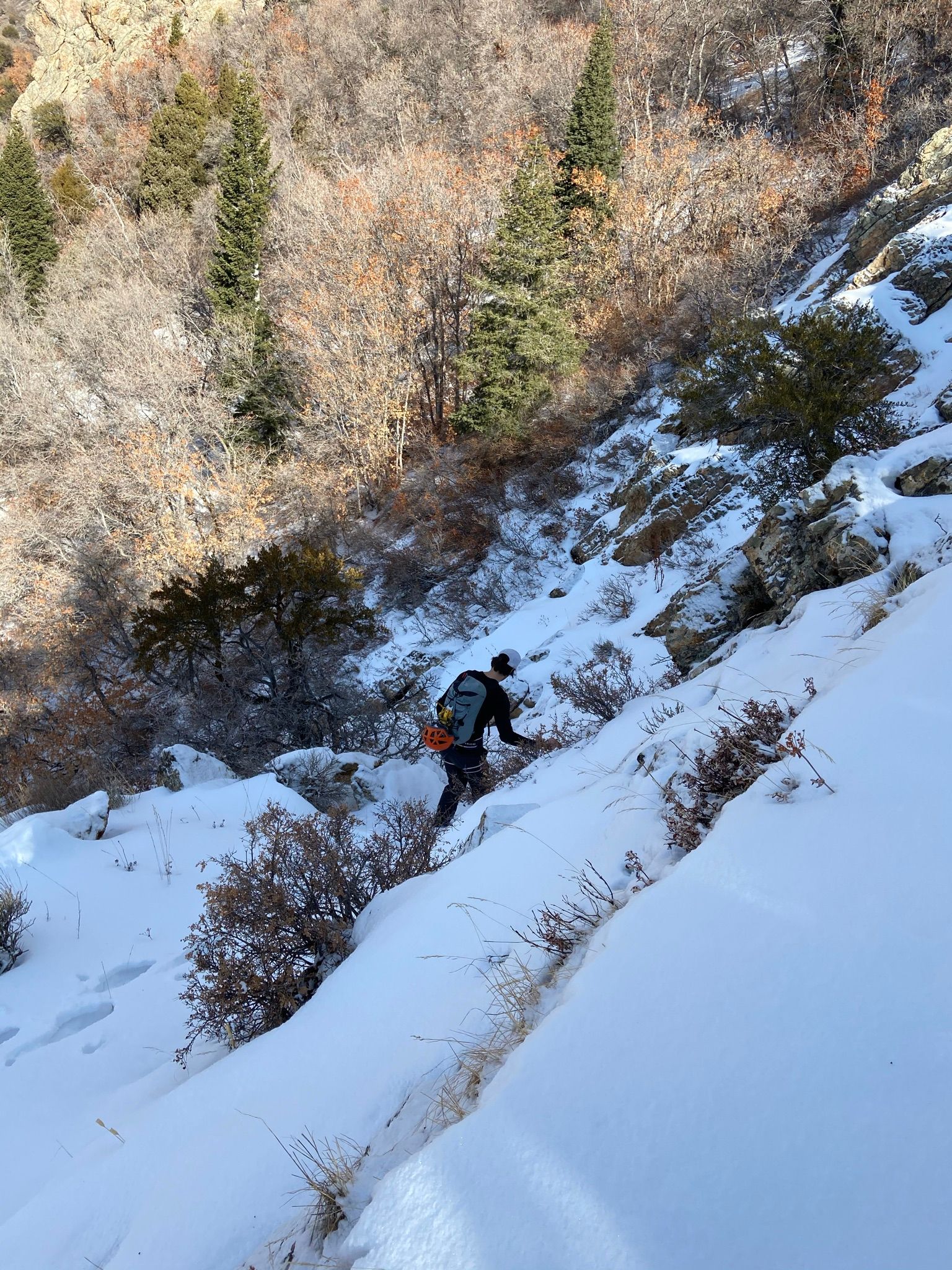
After a little route finding the ridge comes into site. We gained it low, about an hour after leaving the trail. This could be cut down with some better route finding. The beginning felt a little contrived with the ground kind of next to us.
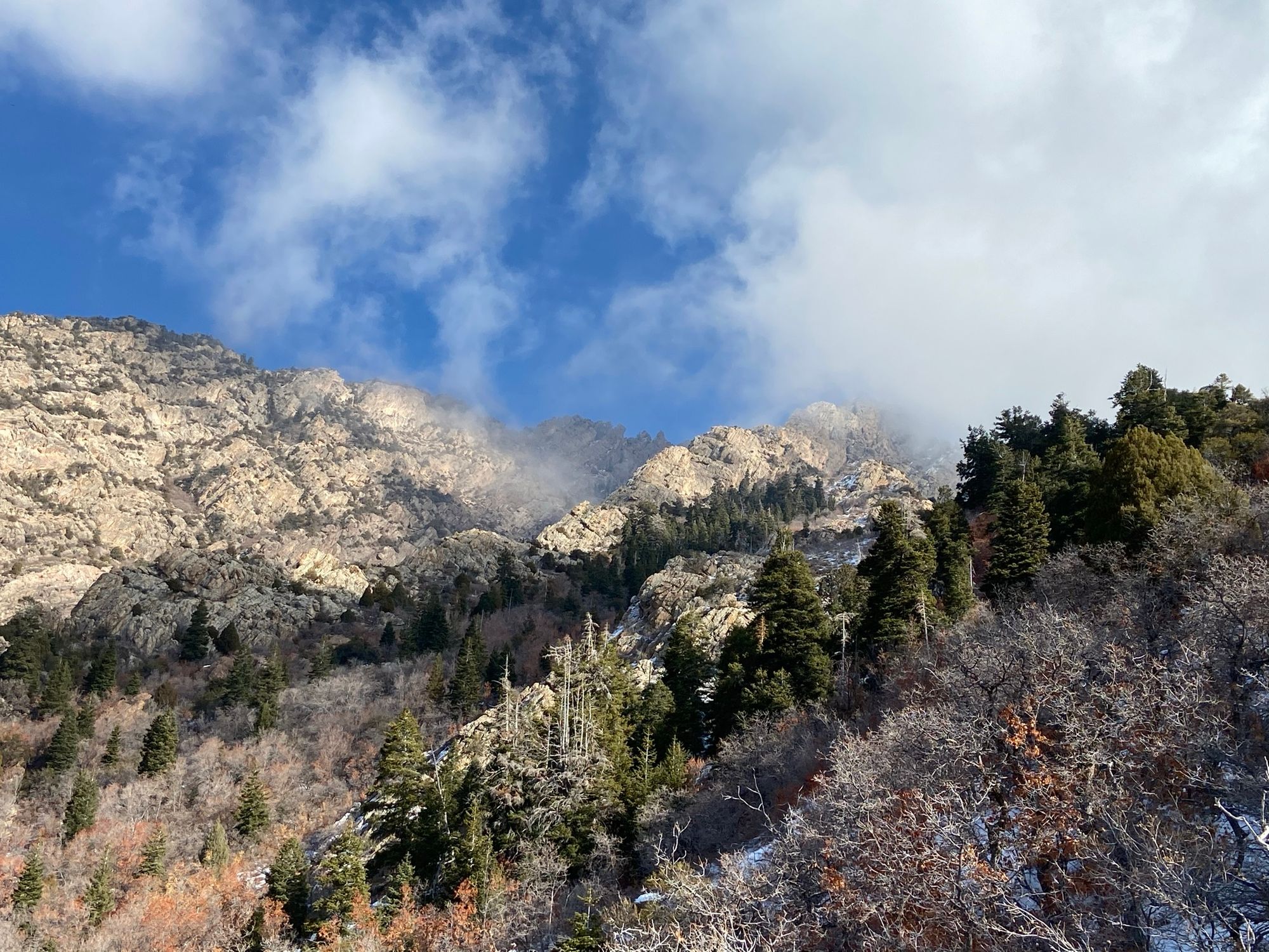
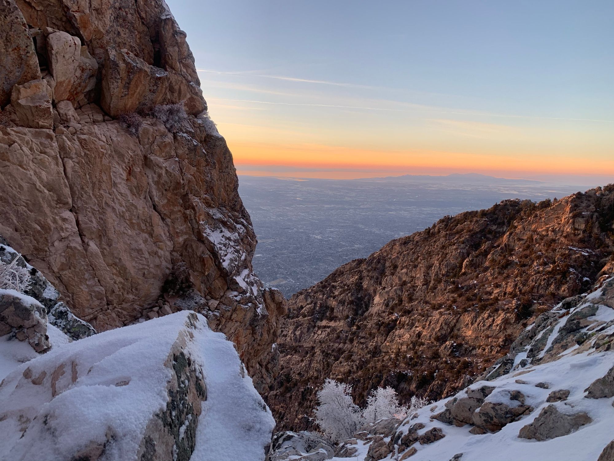
The ridge quickly starts to gain exposure, especially on the north side.
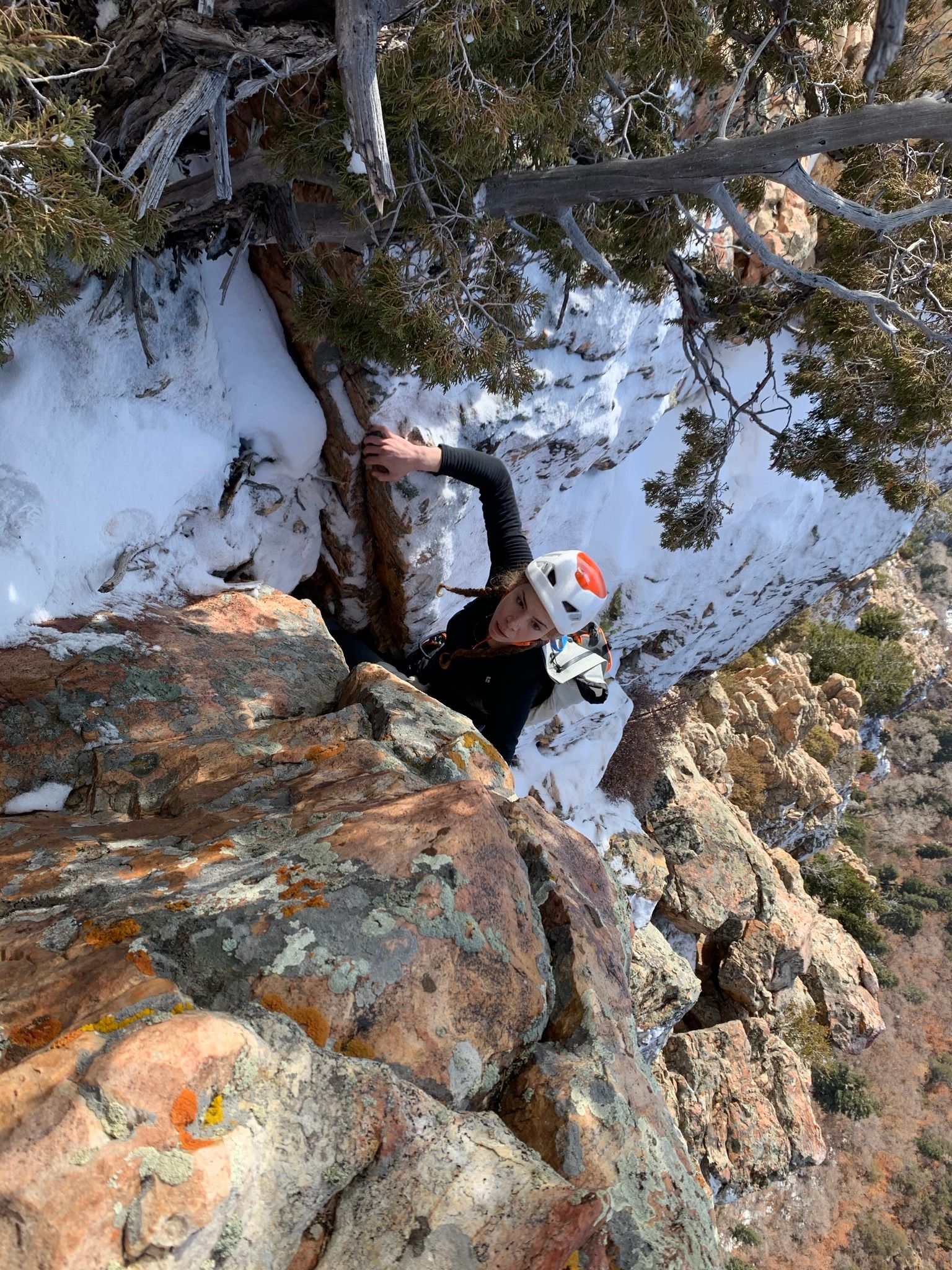
The climbing had engaging moments, but I never felt uncomfortable in approach shoes. The 5.6 rating felt pretty spot on. Most of the climbing was low fifth or easier.
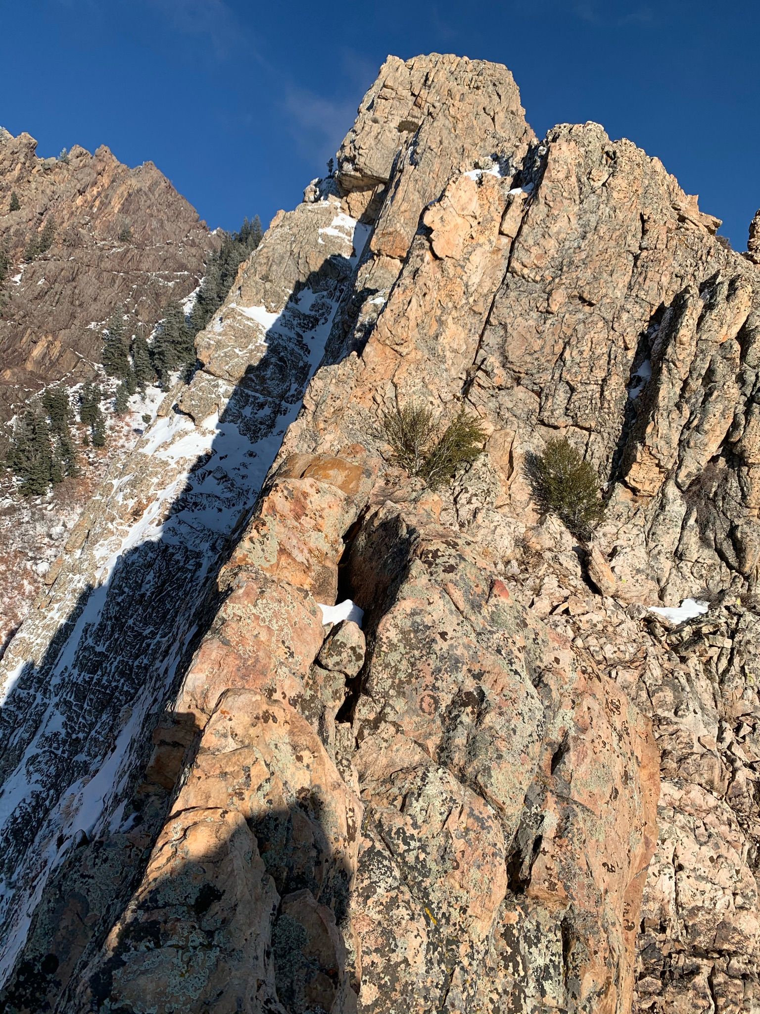
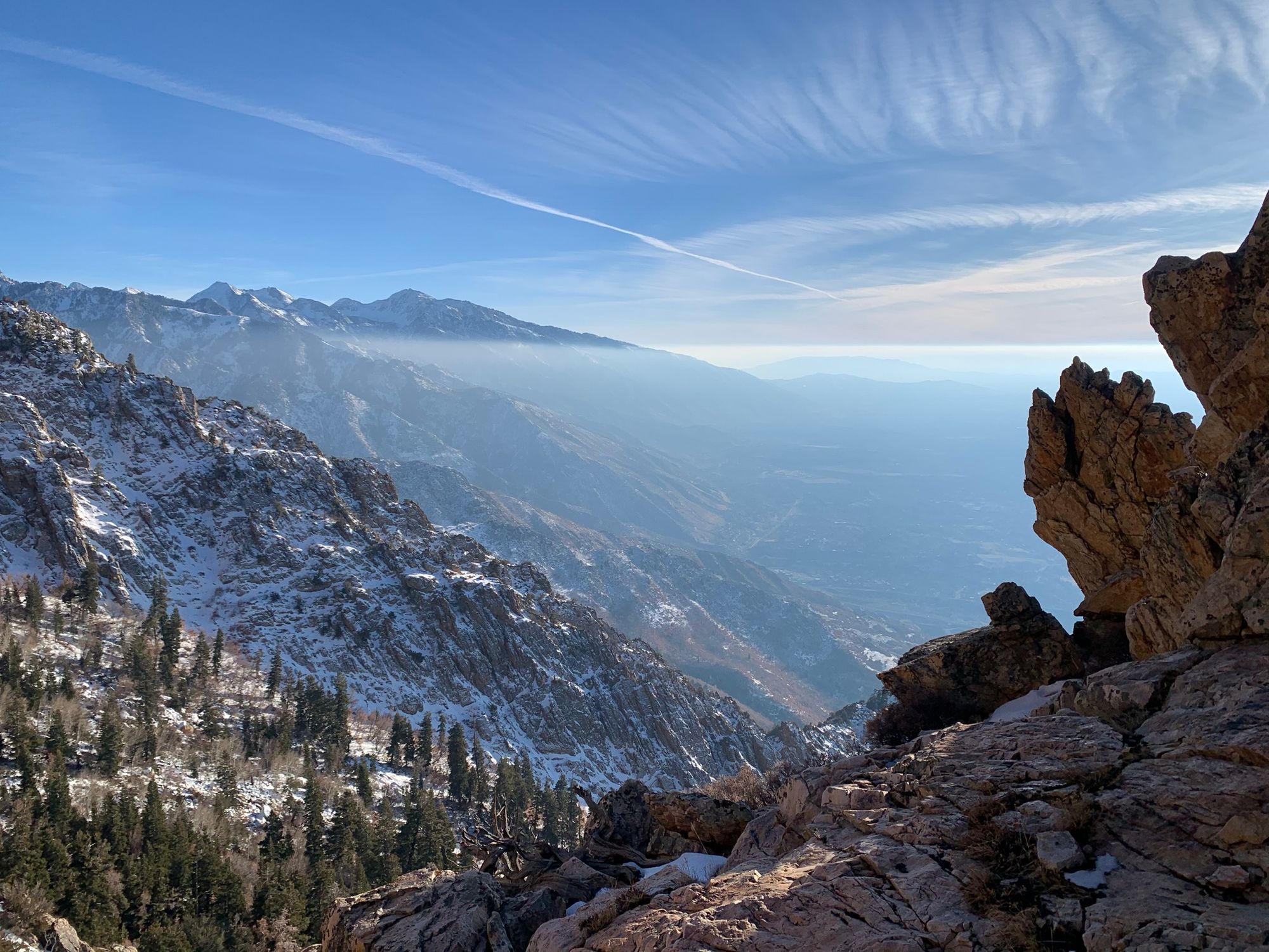
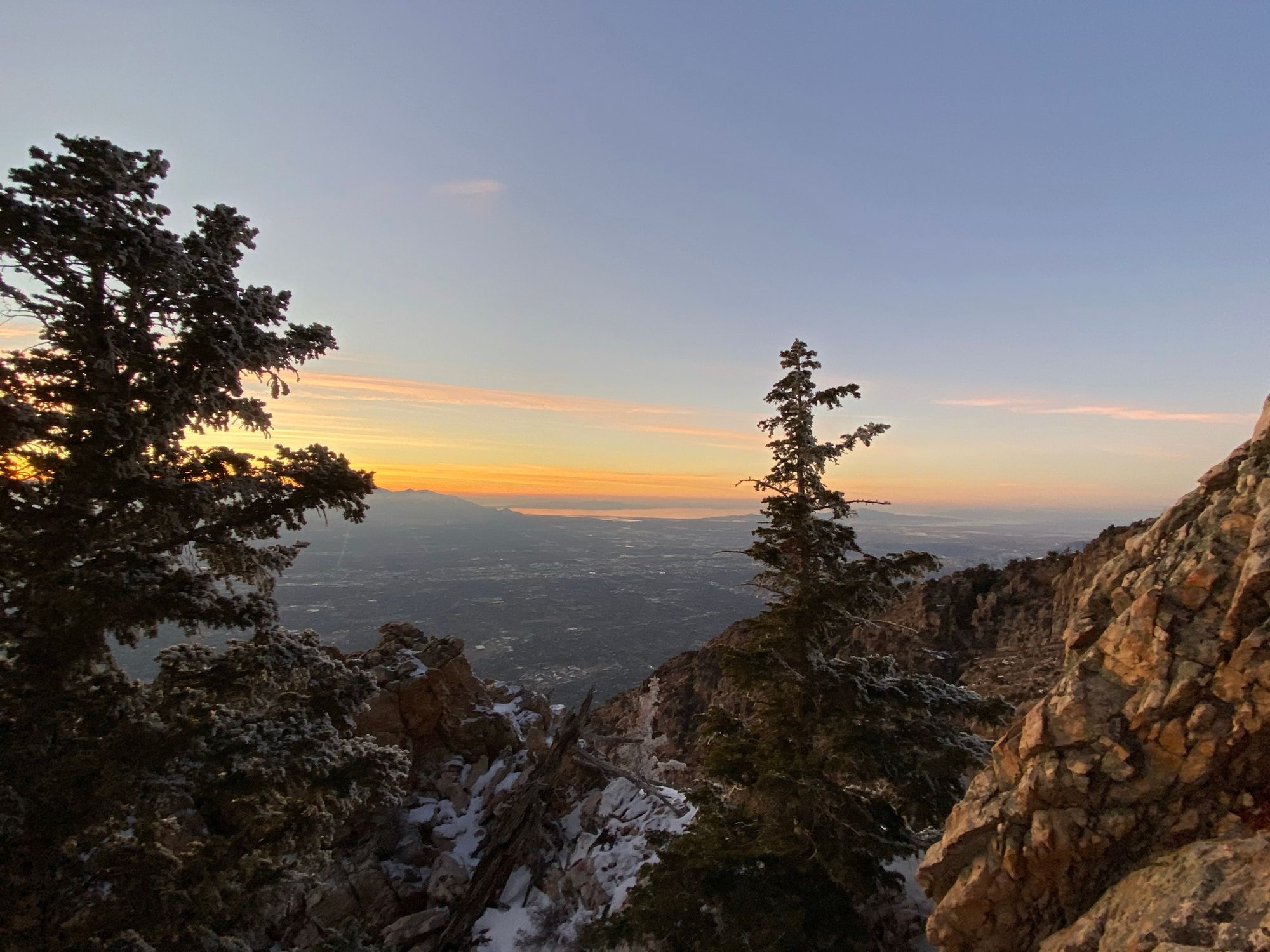
As we got higher, there were more sections on the north side of the ridge that were harder to avoid, but we were mostly able to stay on the sunny dry rock. The inversion became more noticeable the higher we went, which made for some great photos.
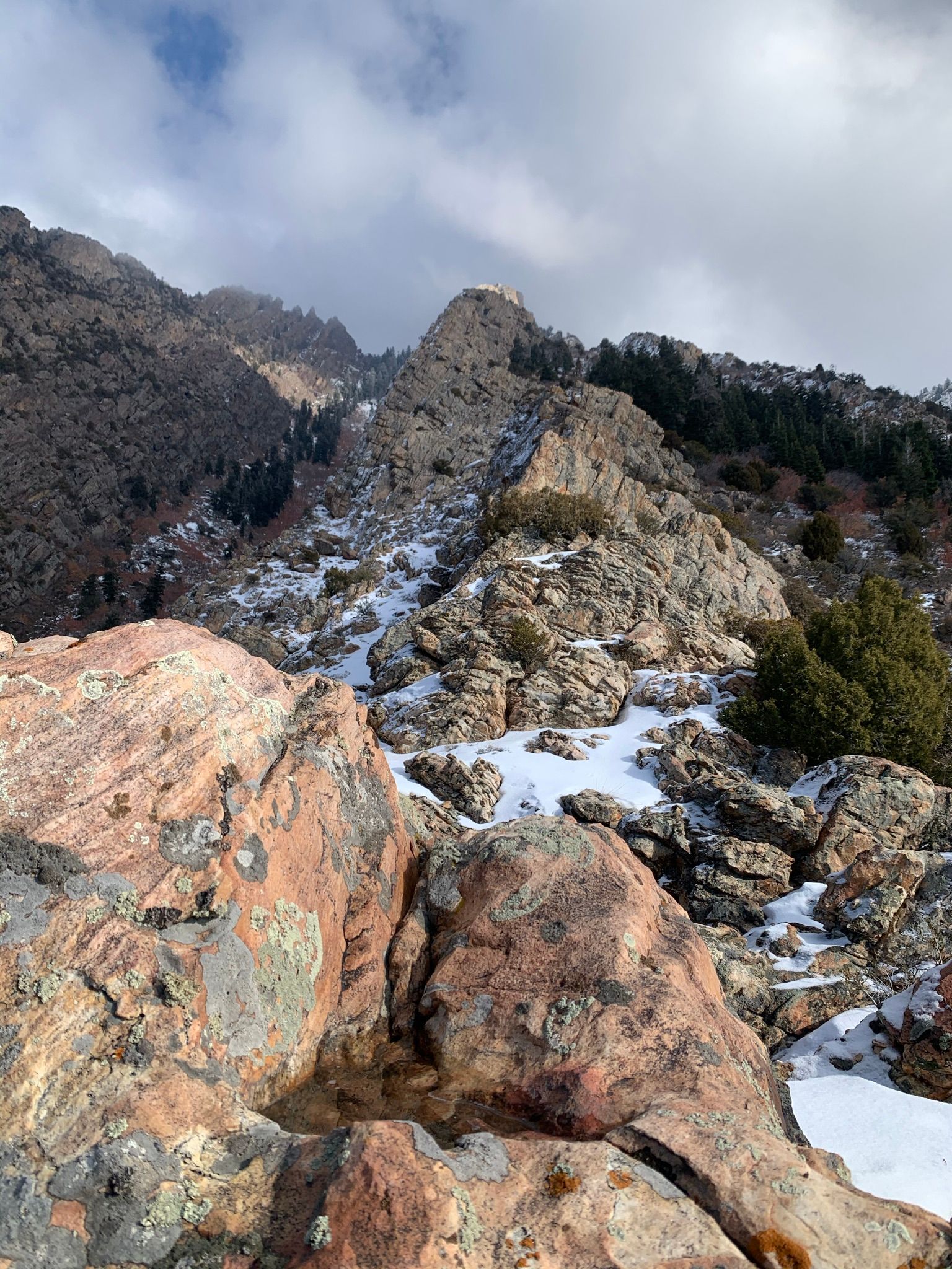
Although you may be able to bypass them, we took both rappels that were on route.
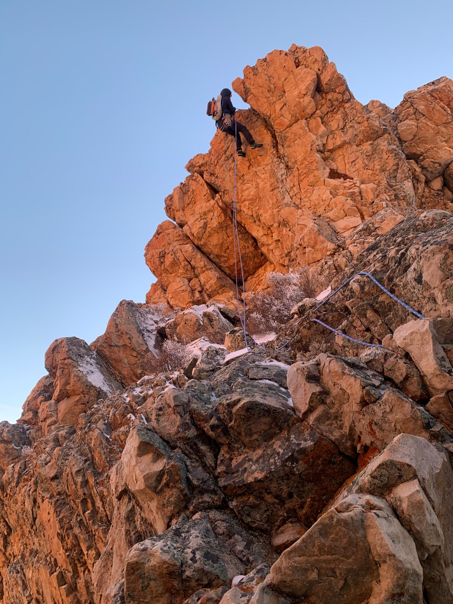
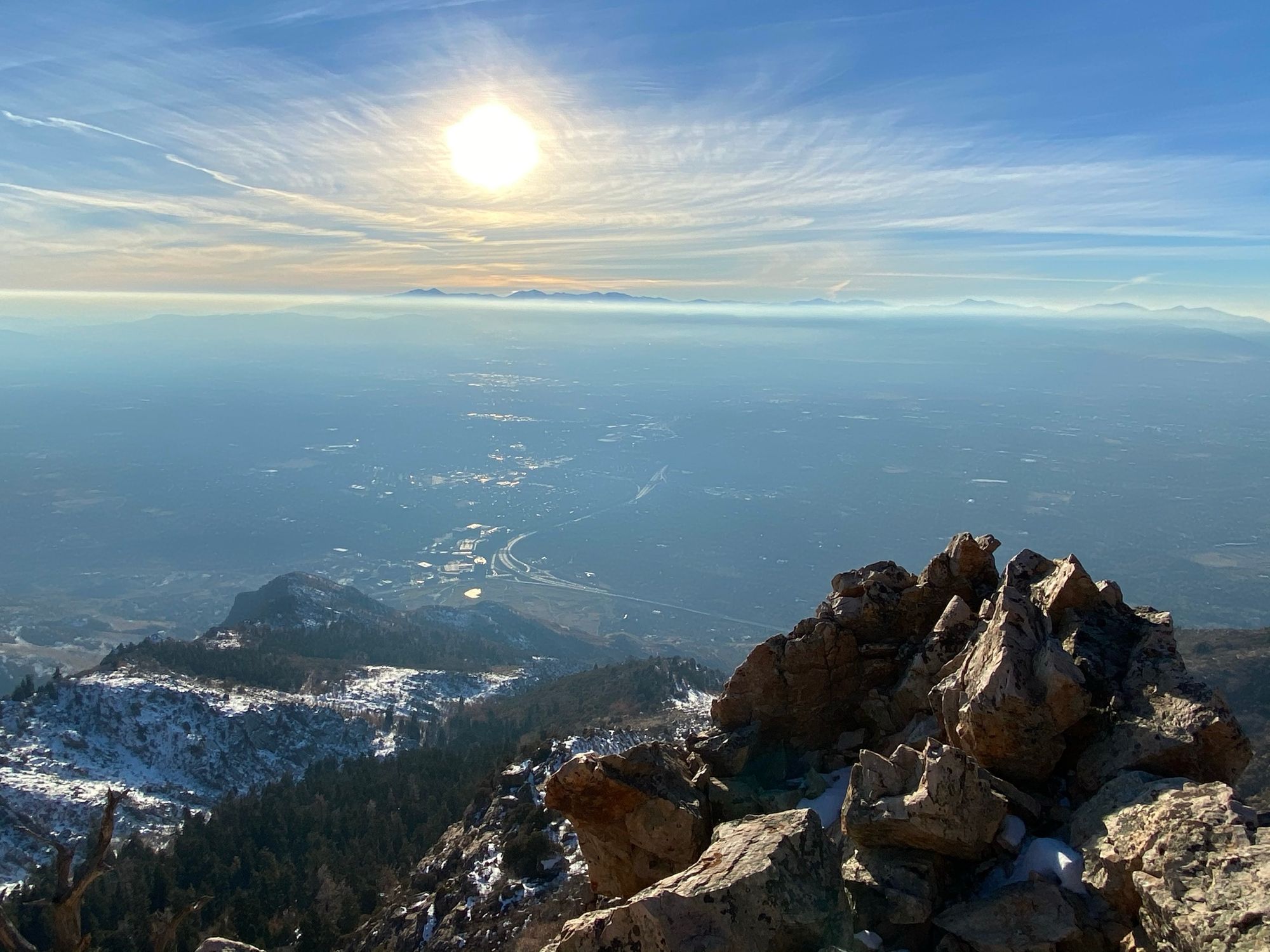
We were not very quick on the ridge, taking about four and a half hours to climb. The sun started to get low on us, again giving some great photo opportunities.
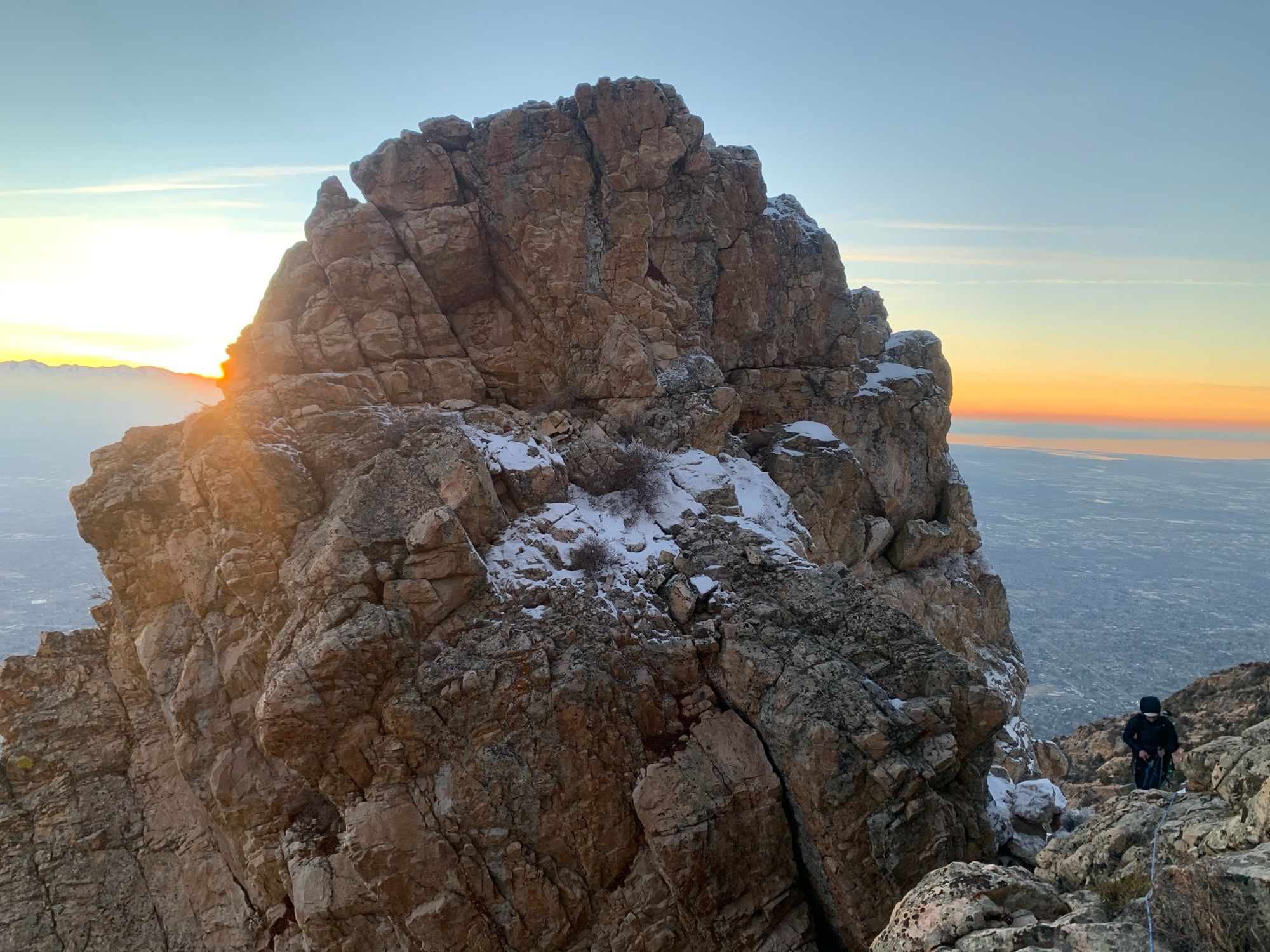
As we gained the final section, we were forced onto the north side of the ridge and finally into the snow. Just as it started to get cold.
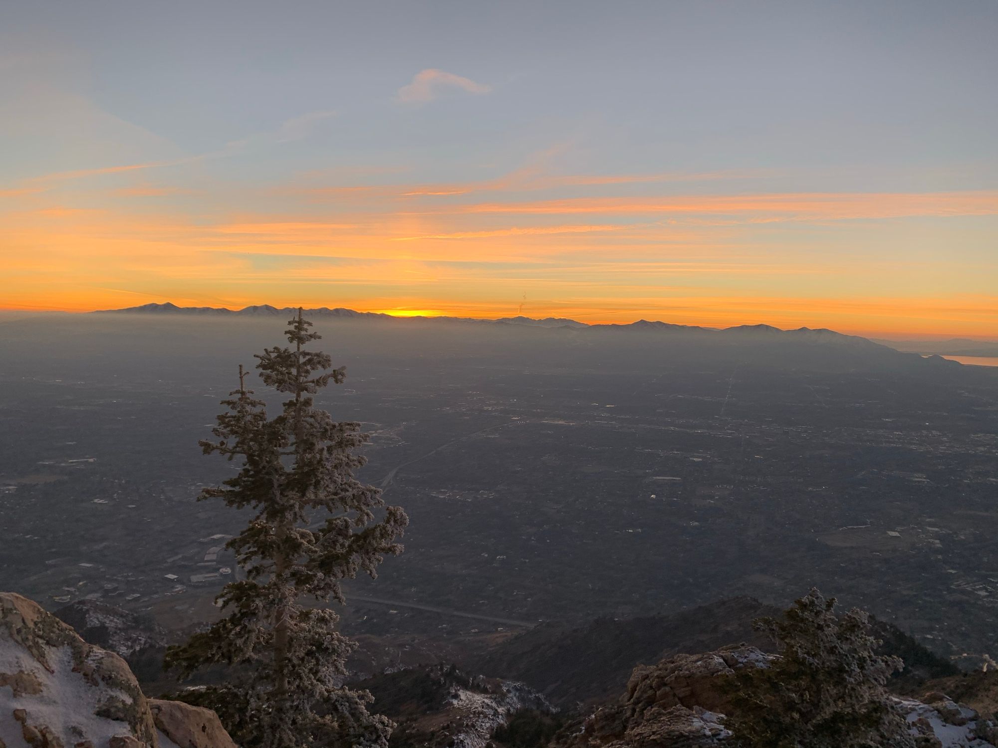
As it happened, the sun set on us on the last section of ridge as we ran into a large patch of waist deep snow. We had about 100 feet to the summit, but decided to downclimb a gully to the south and regain the trail from there. We were able to use a few massive downed tree trunks to get down the gully and were happy to find the trail.
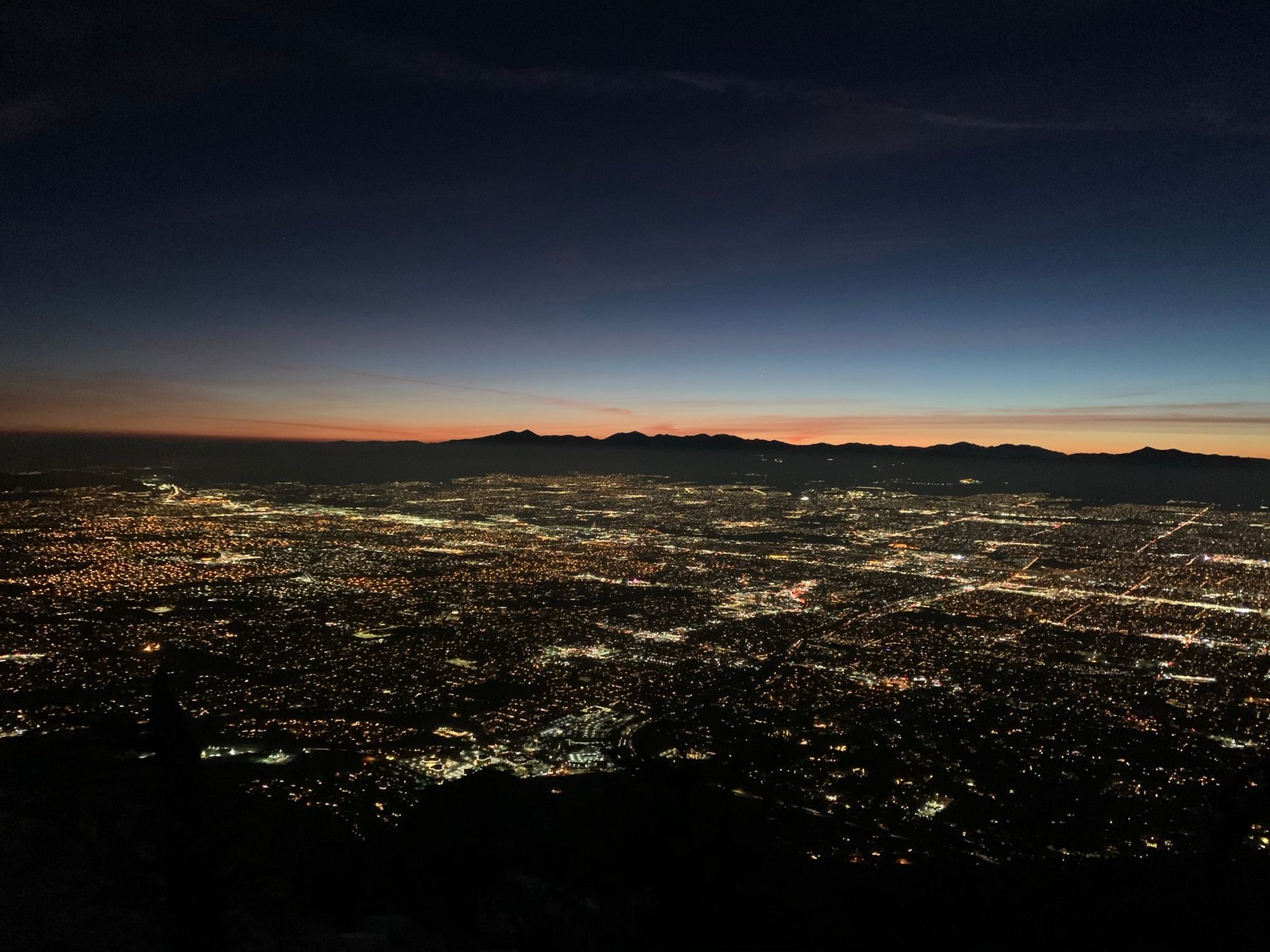
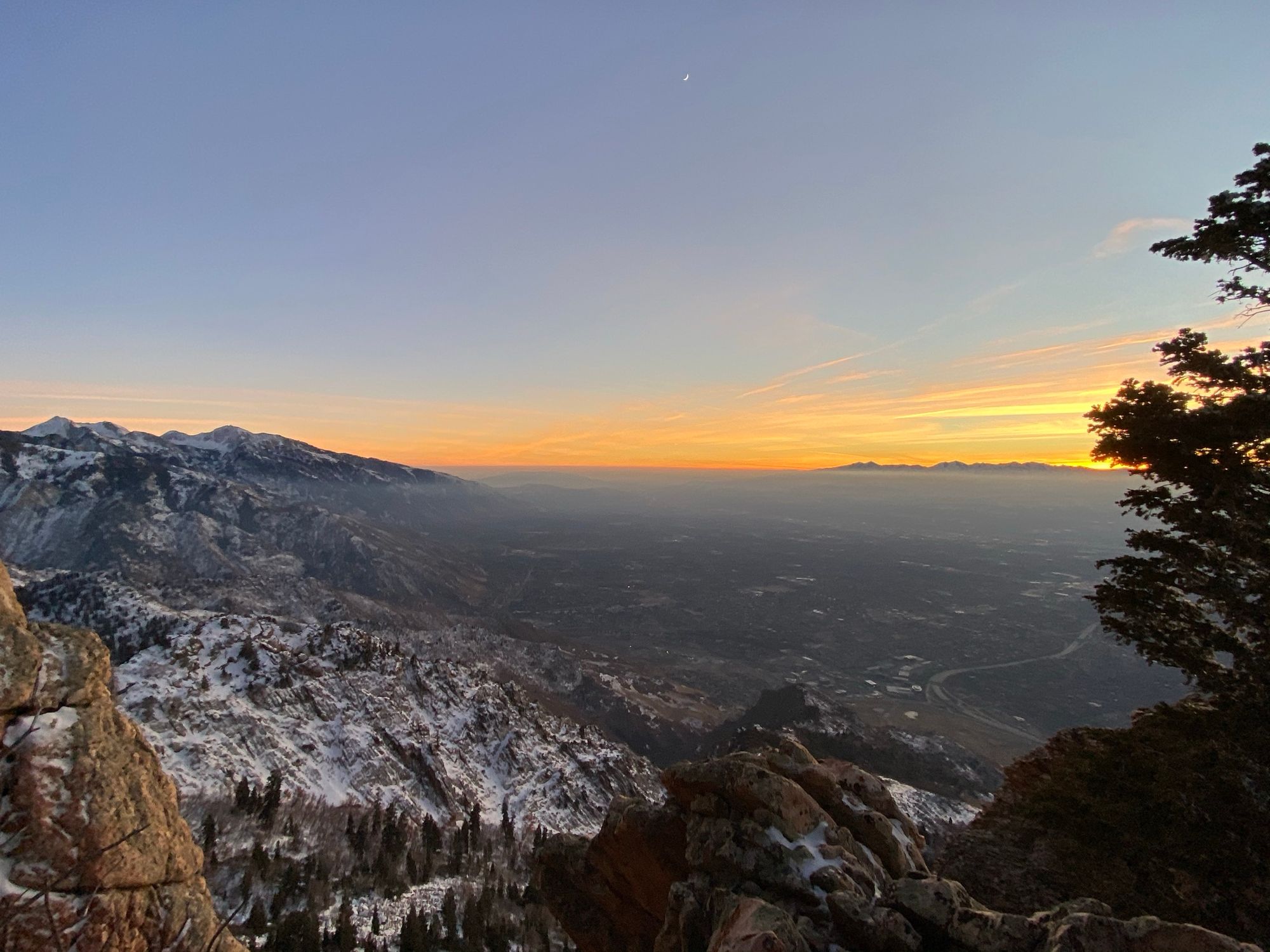
We descended the trail in the dark, taking about two hours including the down climbing. I was pretty happy to see the car, having been out a tad longer than anticipated.